
When tsunami sirens blared across O‘ahu on July 29, 2025, the waves were not the state’s biggest problem. The traffic was.
Streets filled quickly and erupted into chaos—not only with residents from designated tsunami evacuation areas, but also with people outside hazard areas who fled anyway. The resulting gridlock, emergency officials say, revealed critical weaknesses in public understanding of tsunami warnings.
“The biggest gap we saw was road usage,” said James Barros, administrator of the Hawaiʻi Emergency Management Agency. “We need to limit road use to those who are actually in an evacuation zone. If you’re not, you should stay put.”
Barros said congestion created unnecessary risk by slowing evacuations for residents in actual high-risk coastal areas who needed to move inland or to higher ground. “People need to know ahead of time whether they’re in a hazardous zone,” Barros said. “That shouldn’t be something they’re figuring out when the sirens go off.”
In the hours after the Pacific Tsunami Warning Center upgraded the alert to a warning, signaling the potential for destructive waves, residents and tourists flooded the roads. Commuters abandoned offices and visitors scrambled to leave Waikīkī hotels.
Barros said the state conducted internal after-action reviews with county emergency managers, transportation officials and private partners. The consensus was that public messaging needs to be more specific and aggressive.
“We have to do a better job explaining what a tsunami warning means, and who actually needs to move,” he said.
Understanding the Zones
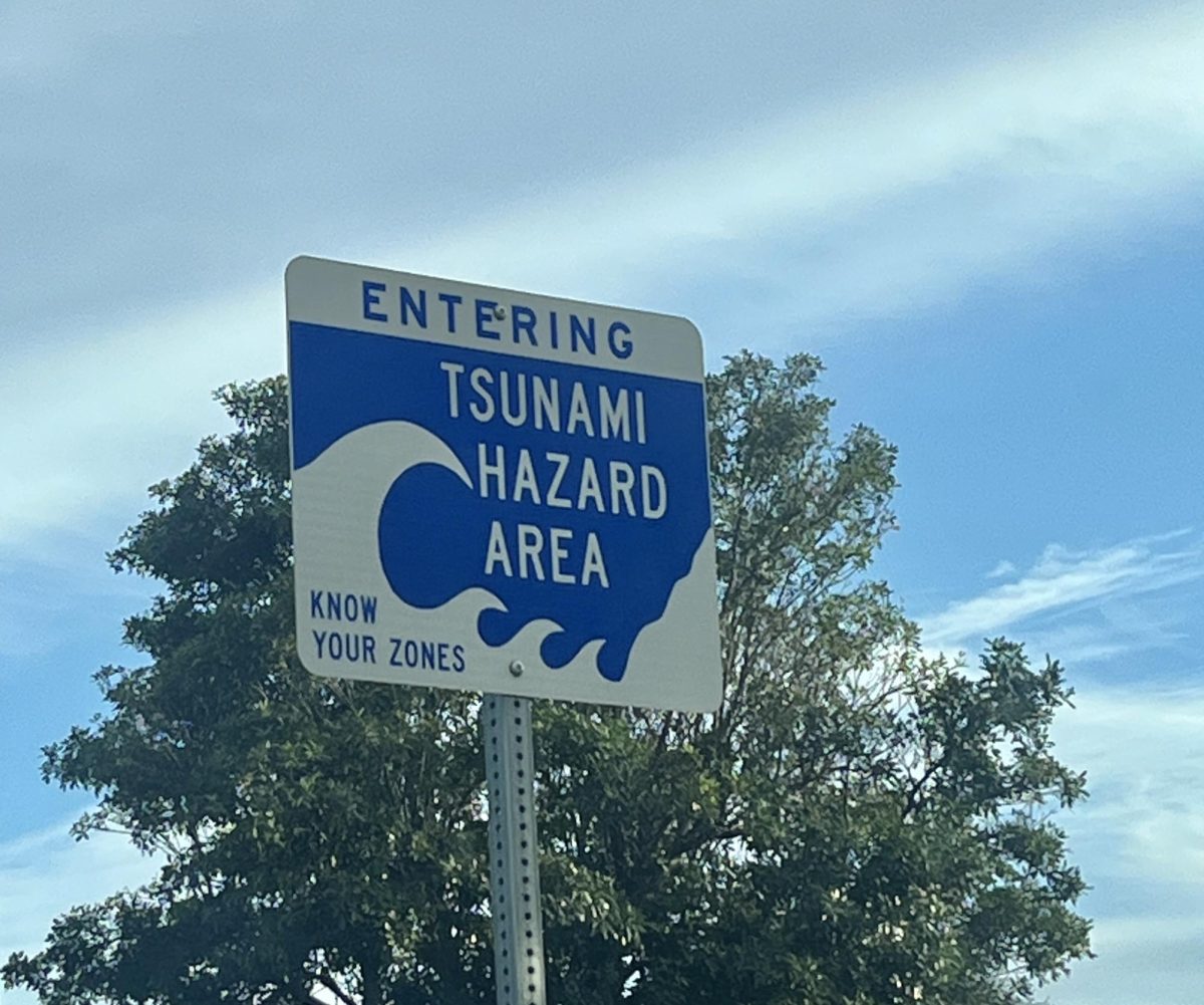
An important aspect of that education effort is helping residents understand the tsunami evacuation maps. The maps distinguish between red “evacuation zones,” yellow “extreme caution areas,” and green “safe zones” outside projected inundation areas.
“The recommendation for a University of Hawaiʻi student on the Mānoa campus, which is a green zone, during a tsunami warning is to stay put,” Barros said. “Hang tight. Don’t jump in the car and try to go home. Stay off the roads and allow those who actually need to evacuate to do so.”
That message is also echoed by Mānoa’s own emergency leadership. Jimmy Lagunero, emergency management coordinator with the Department of Safety at UH Mānoa, described the July 29 tsunami warning as also a warning about traffic standstills. This has prompted change, as that morning was a wake-up call with the chaotic reaction from the public.
“UH now emphasizes ‘Stay Put’ messages much more aggressively,” said Lagunero. “Regarding communication failures, people tried to check websites but many crashed, so UHM has since boosted its own alert system capacity and encourages everyone to use the Mānoa Guardian App, which stayed functional during the surge.”
Lagunero also added that some students reported they couldn’t hear the sirens over the AC in certain buildings. As a result, the university has been working with the state to check “dead zones” around newer, sound-proofed campus construction.
Vertical, Not Vehicular
In dense, low-lying neighborhoods like Waikīkī, officials say another strategy that could significantly reduce gridlock is vertical evacuation.
“If you can’t reach higher ground inland, going up to the fourth floor or above in a sturdy building, such as a 10-story structure is a viable vertical evacuation option,” said Lagunero. In many parts of urban Honolulu, this can be safer than attempting to drive inland.
Many coastal evacuation zones are small enough to exit on foot.“If you’re down at Waikīkī Beach and the siren goes off, you can walk out of the zone,” Barros said. “You don’t necessarily need a car.”
A Student’s Three-Hour Drive
For some students, however, it was an instinct to drive home when the warnings alerted the islands. Aralen Haiola, who goes by Hailima, is a first-year master’s student in sociology who was working in the graduation office when the alert arrived.
“My first instinct was just to go home,” she said. Living in Kapolei and new to campus, she said she felt isolated, “It was my first semester at Mānoa and I knew no one.”
The drive home, which is normally under an hour, took three. “It was a three-hour car ride all the way back home,” she said. Looking back, she says she would act differently.
Now in her second semester, Hailima has built community connections through the East-West Center. In a future warning, she plans to stay with friends who live on higher floors in campus residence halls.
She is also preparing a bag with clothes, toiletries, a flashlight and portable chargers.
“So I can stay ready at all times,” she said.
Her story highlights another lesson emergency officials emphasize—that readiness is not only about knowing which areas of the island require evacuation by road, but also about connection.
Connection & Alerts
Lagunero said one of his strongest pieces of advice for students is to “stay connected with one another.” Location-sharing apps such as Life360 can help loved ones account for each other during emergencies. This was a lesson reinforced during the aftermath of the Lahaina Fires, when families struggled to locate missing relatives. Always make sure at least one trusted person knows where you are during an emergency situation.
In addition to understanding evacuation zones, Lagunero recommended residents to sign up for multiple alert platforms. Each county operates its own emergency notification system, separate from state messaging, preventing information gaps during fast-moving events.
Beyond individual readiness, policymakers are also examining solutions at the state level.
One proposal advancing at the Legislature would authorize the state Department of Transportation to enter into agreements with the U.S. Department of Defense to perform construction, maintenance, improvement, relocation or extension services at federal military installations. Military facilities across Hawaiʻi, including strategic roadways like Kolekole Pass, provide critical support during disasters. Recently, state, city, and military leaders signed a Memorandum of Understanding formalizing access to Kolekole Pass during emergencies.
House Bill 2336 is designed to let the state step in when improvement projects at federal facilities stall, ensuring infrastructure remains operational before the next crisis strikes. As of Feb. 18, the House Committee on Public Safety recommended the bill pass unamended with nine votes in favor and none opposed. The following day, the measure was adopted by the House Committee on Finance without opposition.
By the time the sirens sound again, officials hope fewer people will be staring at brake lights on H-1 and more will reach safe ground quickly, without the chaos. The July 29 tsunami warning showed that evacuation plans depend as much on public understanding as they do on infrastructure.
“Honolulu turned into a parking lot,” Lagunero said. “For those of us already on high ground like Mānoa, the road is the most dangerous place to be.”